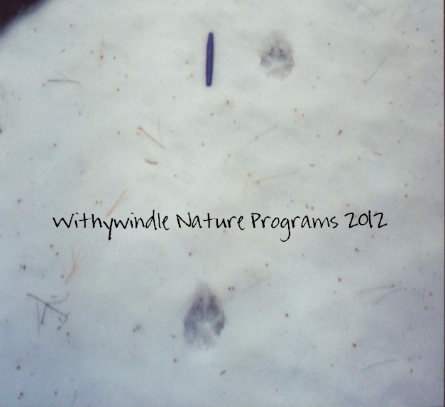
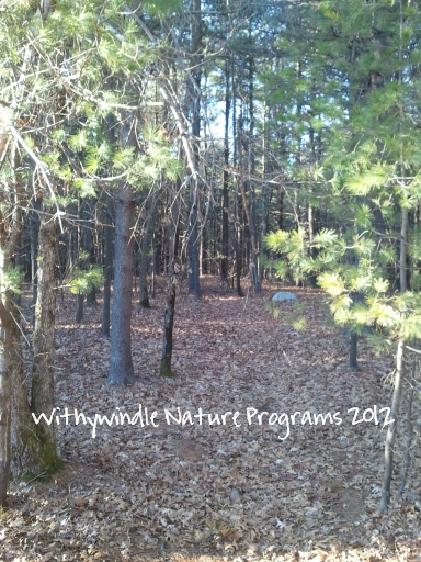
When I started writing my Windows on Wildlife post yesterday, I had intended to write about beginning the process of my tracking survey and got sidetracked talking about the mapping project that will be happening at the same time. One of the reasons is that I really need to understand the space I’m working in from a larger perspective – so having a map of the area would be helpful. So my first step is to create a base map that will give me a sense of cover (deciduous trees, coniferous trees, brush/scrub, etc.), space and boundaries.
I know where the walking trails are, and can use them for marking track intersects (where tracks cross the trail) but will need to decide how to methodically check the other sections that aren’t as easily accessible. My second step is to decide where to place transects in the areas without trails to maximize my chances of encountering any coyote trails.
My third step is to set up my transects (which I might not even need to do since the space is so small – I can probably replicate them without much trouble using pacing and compass measurements) and then walk the trails and transects to get a sense of time so I can decide how frequently I can really afford to go out walking. Of course, since I’m more interested in recording the behaviors and movements of our resident coyotes instead of just amassing data for a tracking survey, the time actually spent in the field will probably be longer than the time it takes to walk the trails & transects, and will vary from day-to-day.
Finally, I’ll need to decide how I’m going to record my data and observations in a consistent fashion, and make sure those tools are in place before I head out for the first time.


I do love the organization and your passion for this work especially with a very misunderstood animal..Michelle
Thanks Michelle! I’m sure it will continue to evolve – it’s been a while since I’ve organized a project like this.